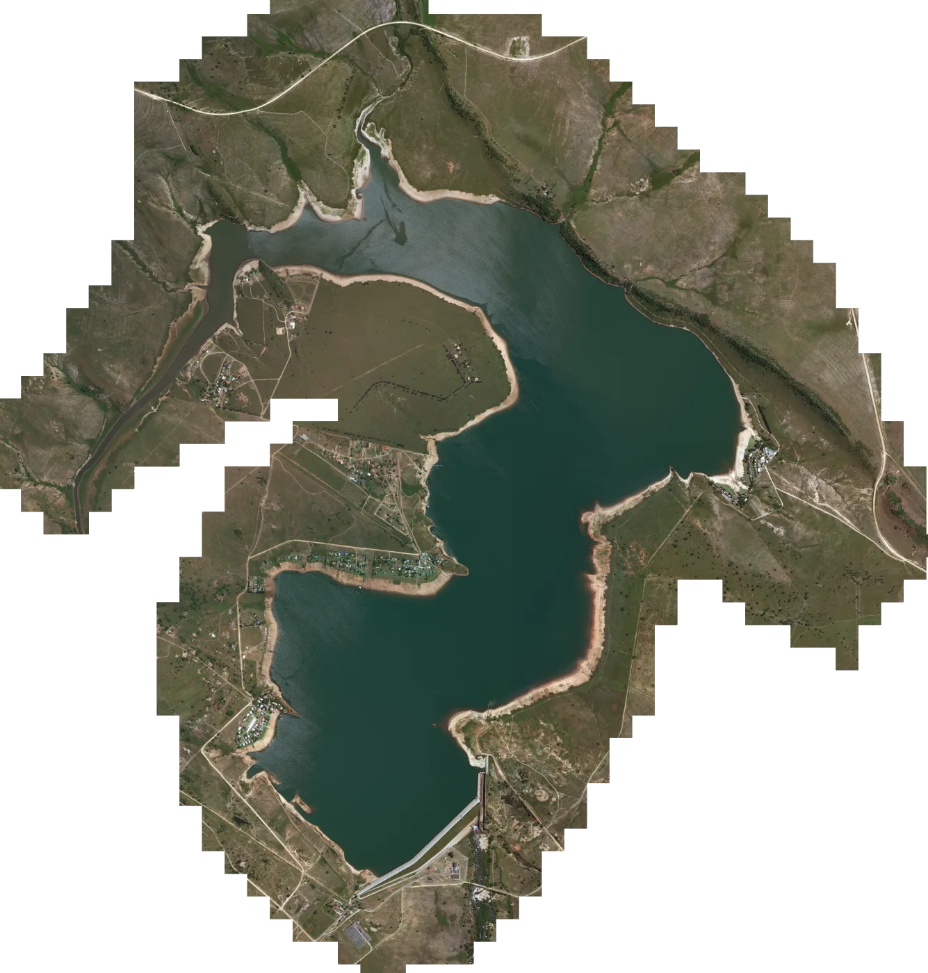

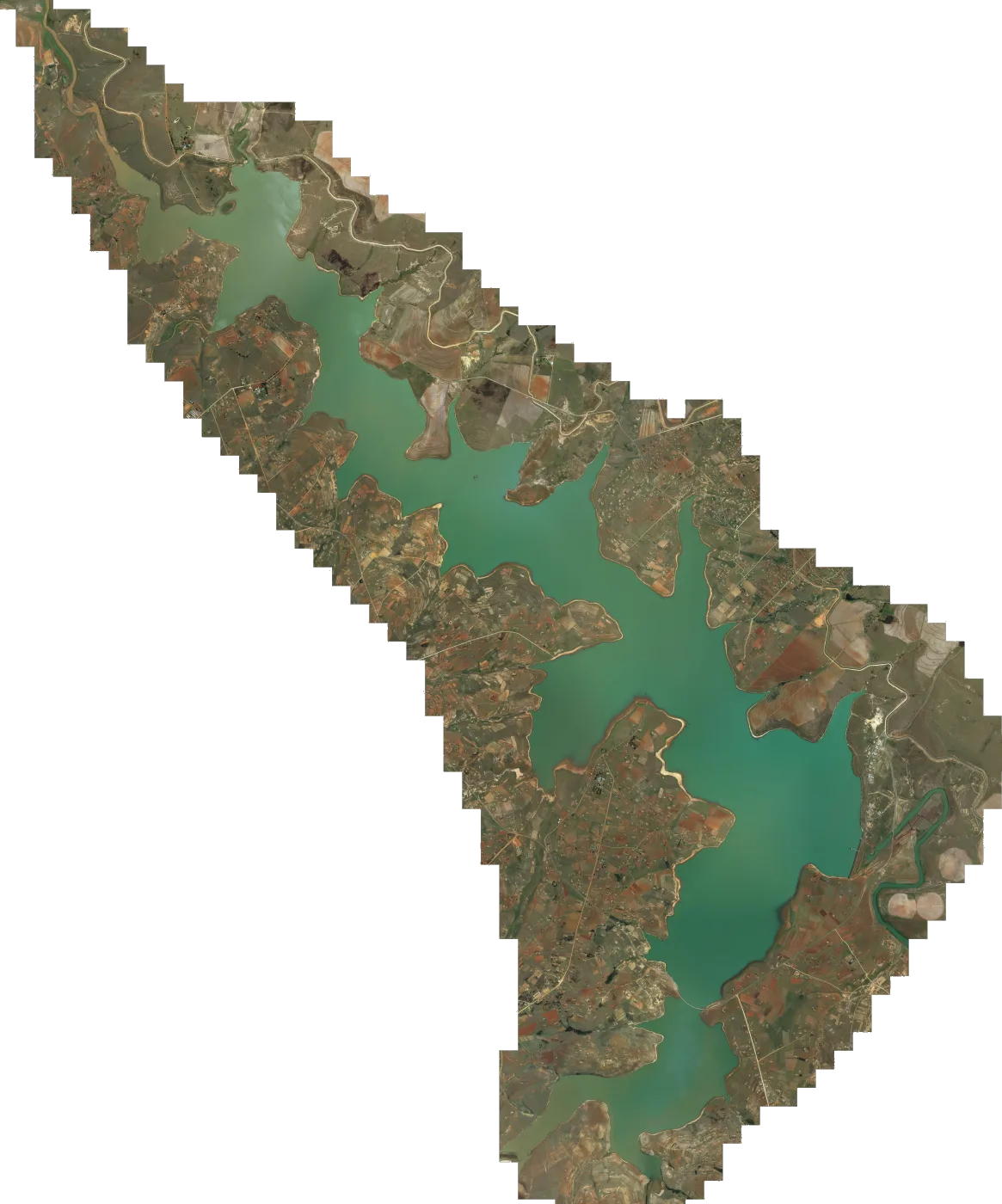
 Satellite map
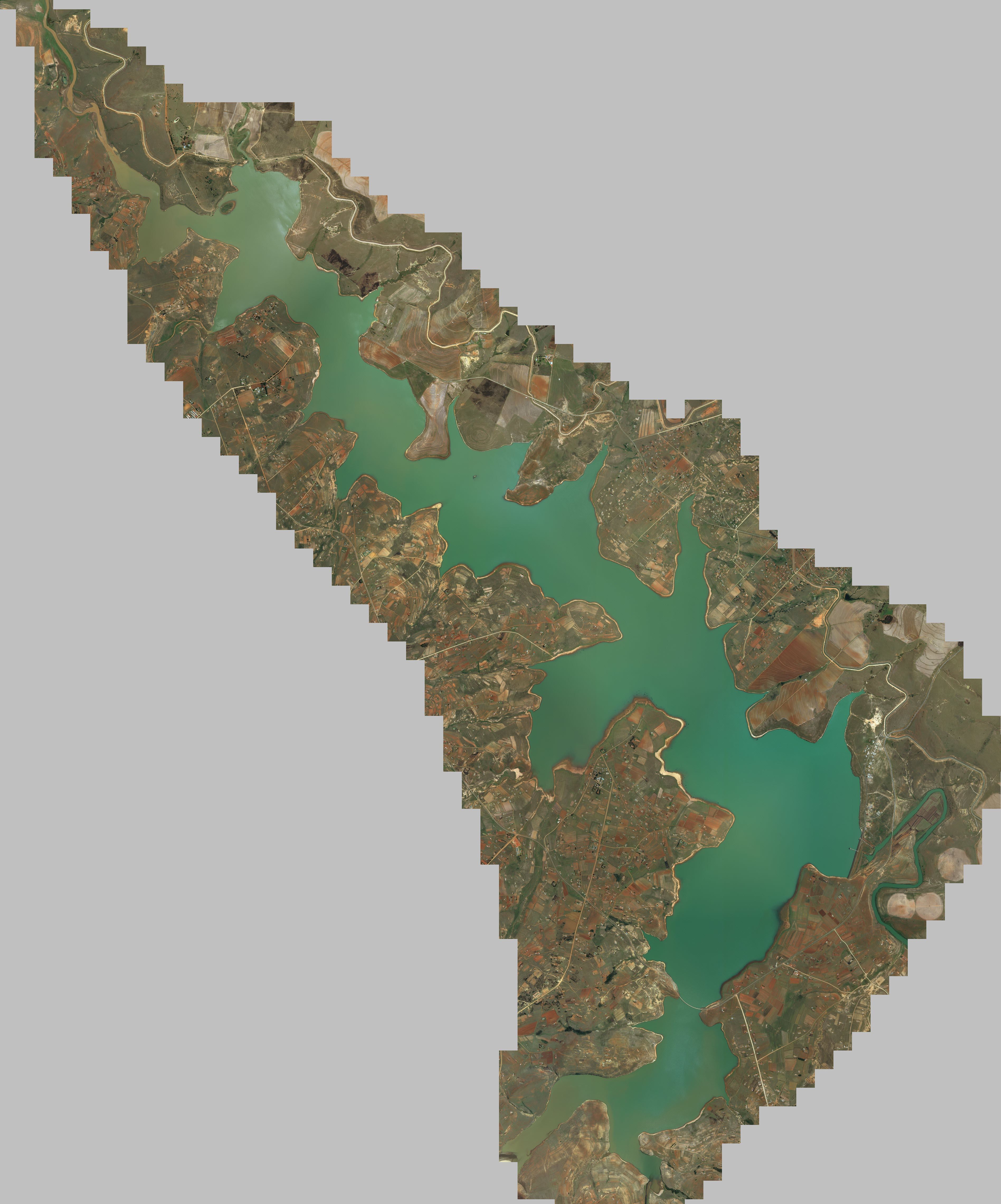
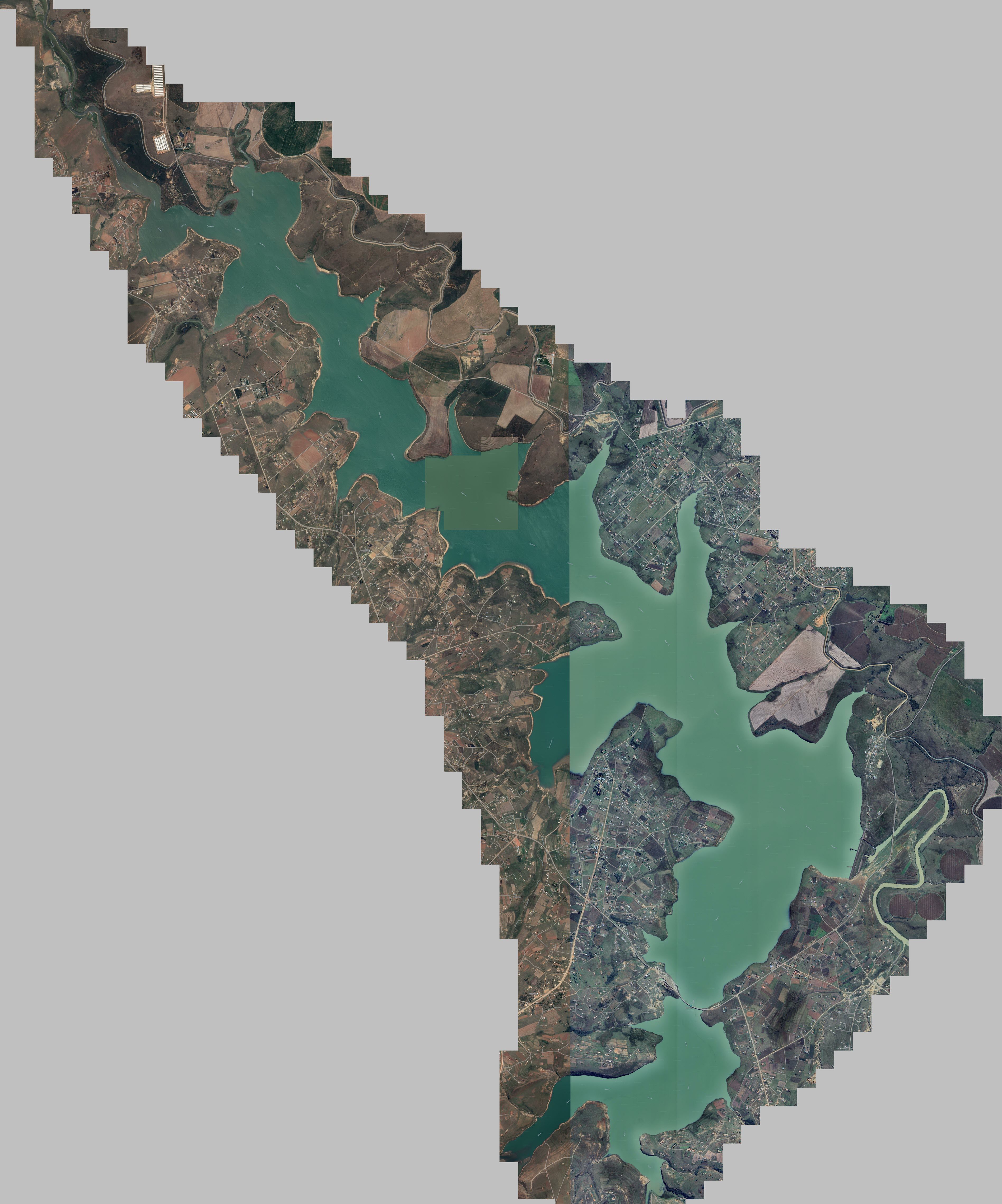
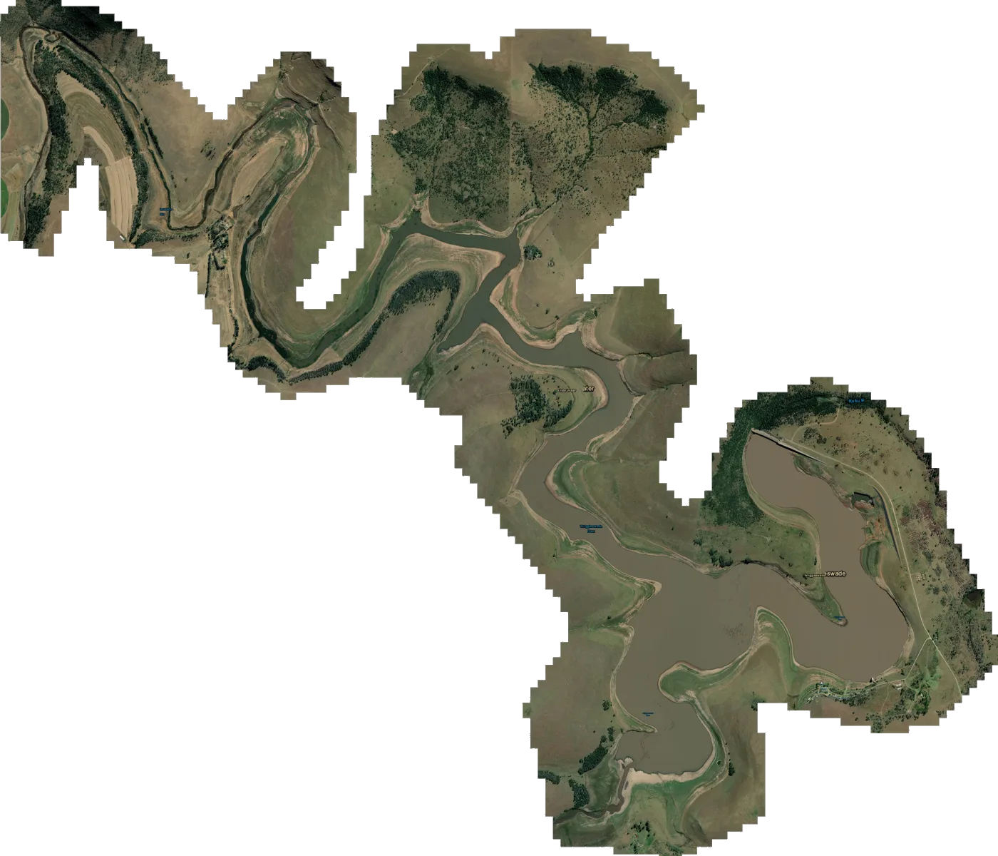
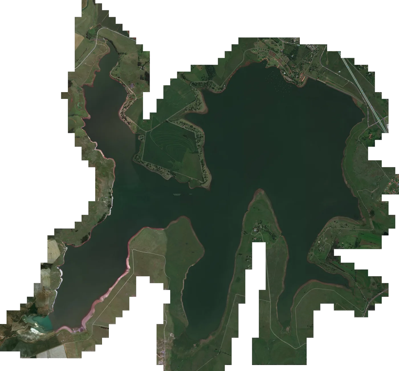
Woodstock Dam satellite map for Lowrance fish finders
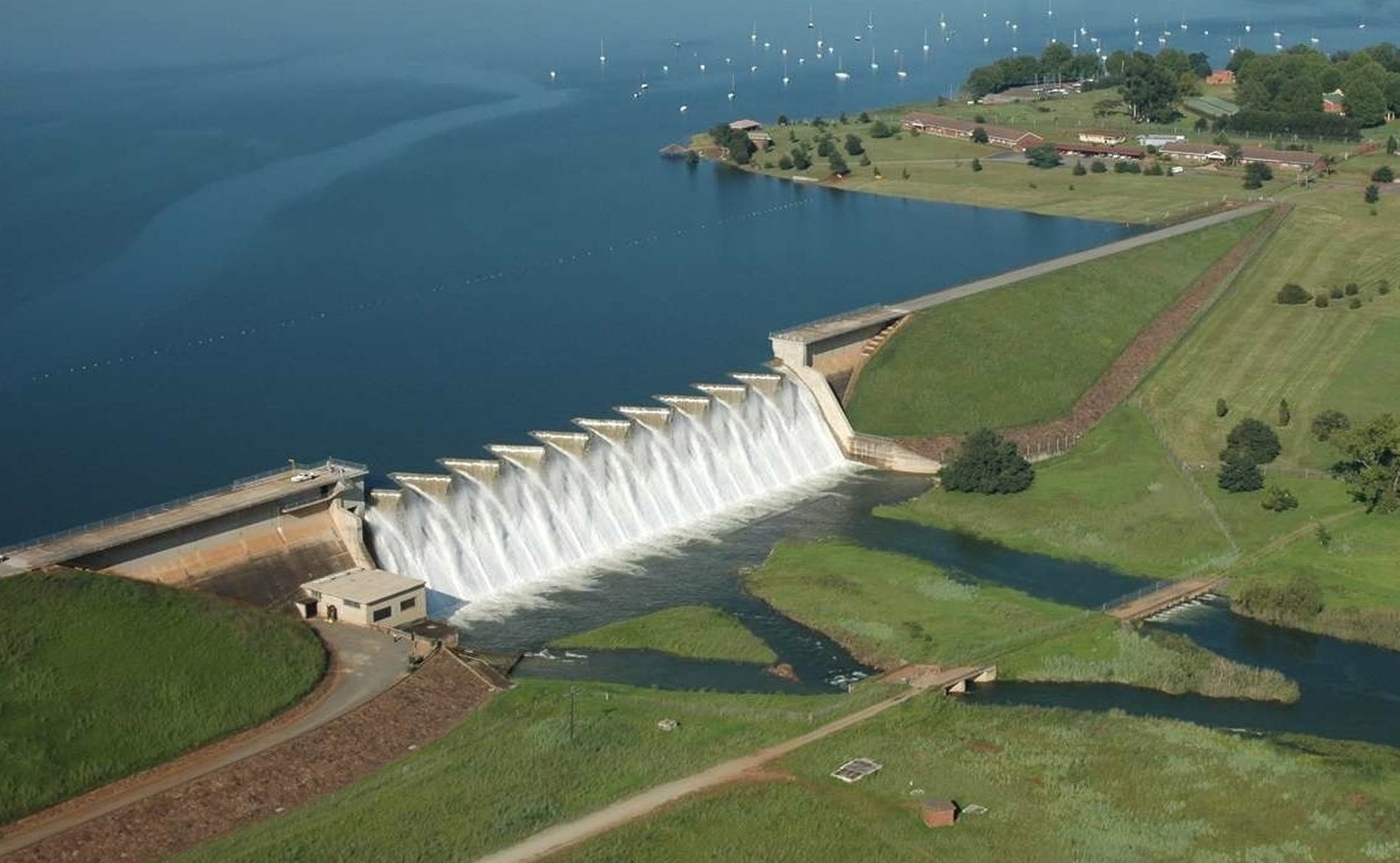
Satellite imagery of Woodstock Dam, set up as a chart overlay for your Lowrance. Nestled along the upper reaches of the Tugela River in KwaZulu-Natal, South Africa, lies Woodstock Dam, the lifeblood of the Thukela-Vaal Transfer Scheme. Commi...
Download
Emailed once PayFast confirms your payment. The link works for 30 days, with 5 downloads per file.
SD card In your basket you can add one 32GB SD card for R350. It carries every map in the order and is posted PostNet-to-PostNet, postage included.
- You pay on PayFast's secure page
- Compatible with Lowrance HDS Live, Carbon, Gen 3, Gen 2 & Elite Ti / Ti2 / FS units.
About the Woodstock Dam satellite map
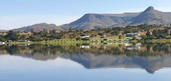
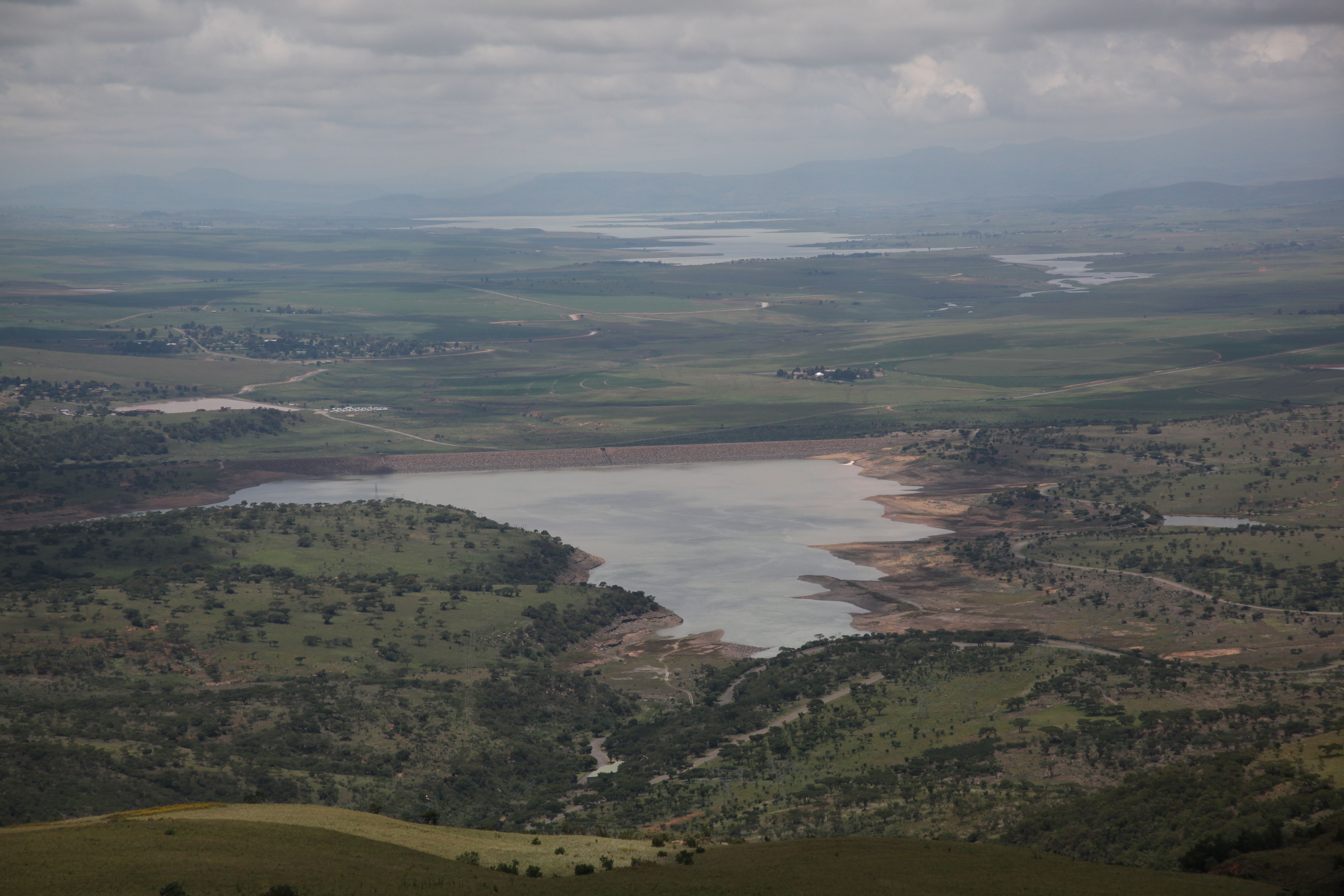
Nestled along the upper reaches of the Tugela River in KwaZulu-Natal, South Africa, lies Woodstock Dam, the lifeblood of the Thukela-Vaal Transfer Scheme. Commissioned in 1982, this colossal structure boasts a storage capacity of 373.26 million cubic meters, an impressive surface area of 29.129 square kilometers, and a towering wall that rises 54 meters above the riverbed. Its vast reservoir serves as a vital source of water for the region, powering industries, sustaining communities, and nurturing the surrounding ecosystems.
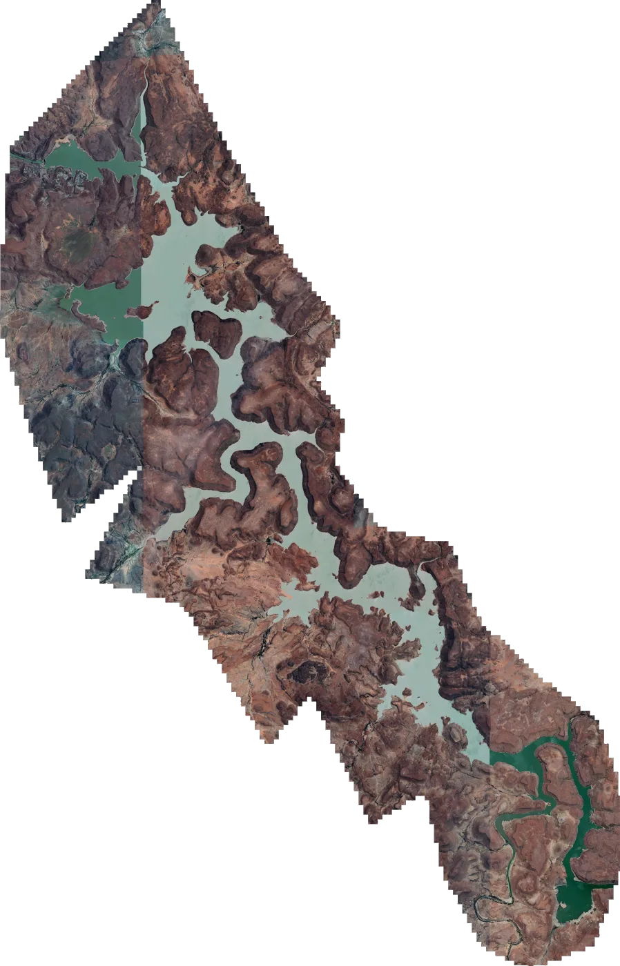
This map comes in three versions that each has its own unique aspects
What you get
- Woodstock 2023.zip 578.8 MB
- Install steps in the email with your download link
- Help by email or WhatsApp if the map won't load
Getting the Woodstock Dam map onto your Lowrance
- 1 Download Open the download link in your email and save the map file to your computer.
- 2 Copy to the card Copy the map file onto a microSD card. If the download is a zip file, extract it onto the card instead.
- 3 Insert Put the microSD card into your Lowrance with the unit switched off, then switch it on.
- 4 Choose the map Choose the Mapster map from the chart menu. Menu names vary between models.
If you ordered the SD card, start at step 3. There's more detail in the FAQ.