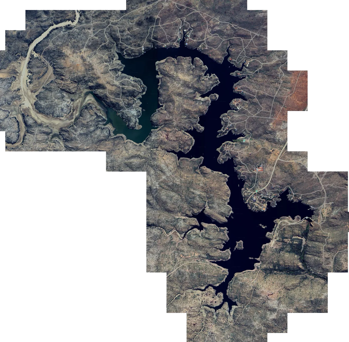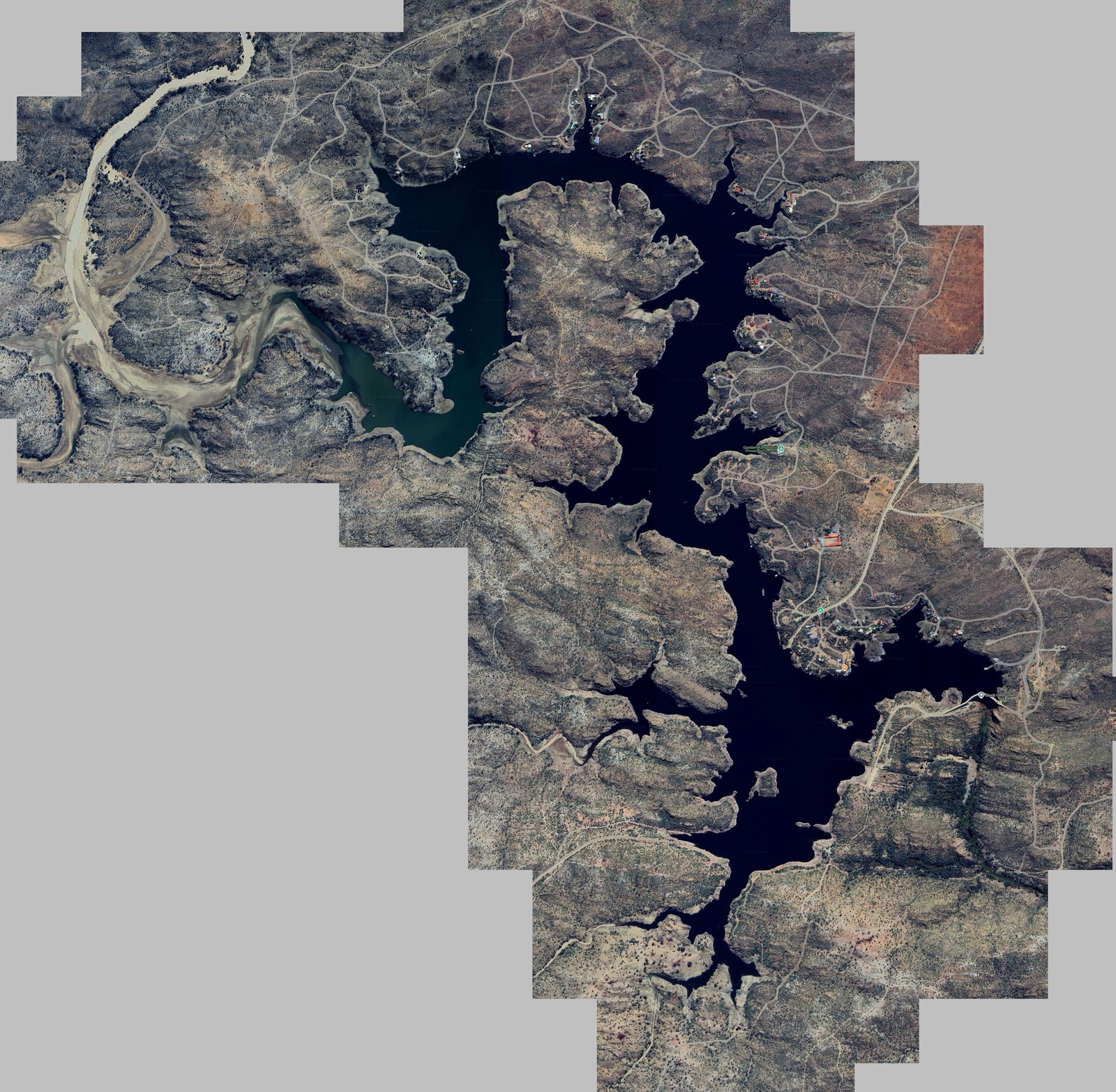

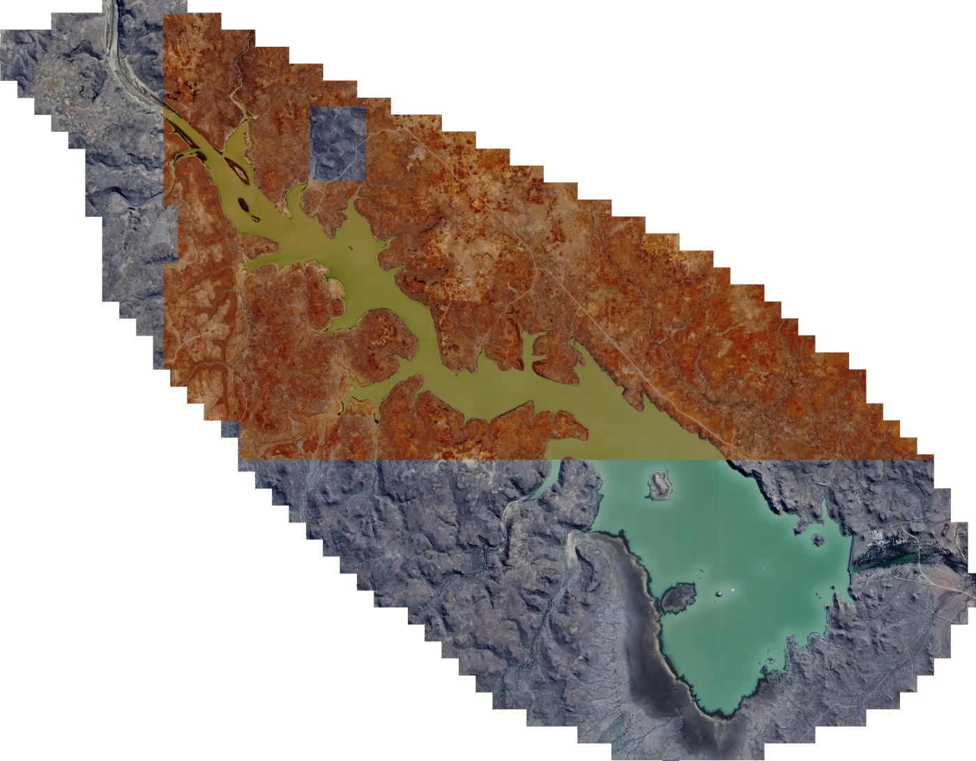
 Satellite map
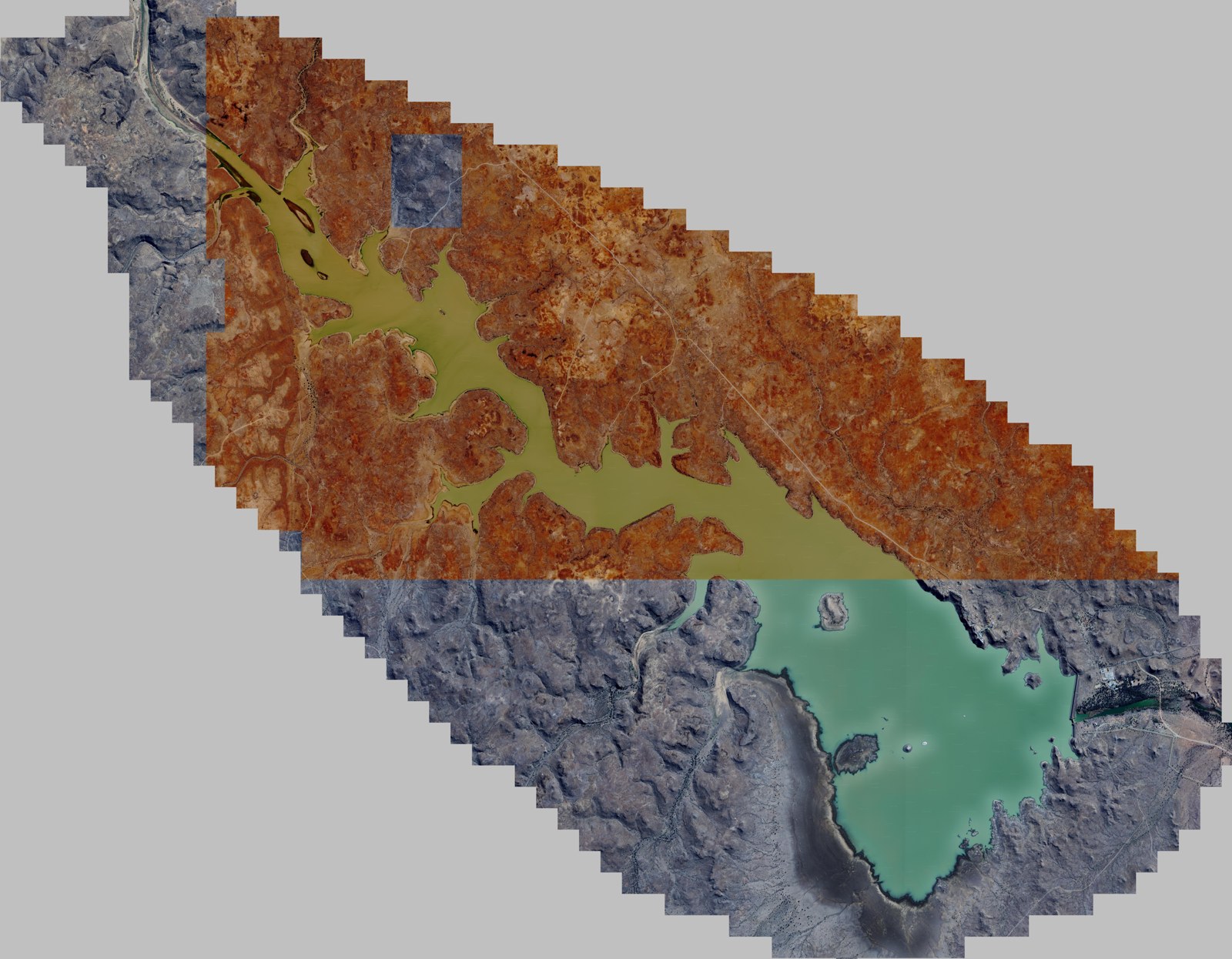
Hardap Dam satellite map for Lowrance fish finders
Satellite imagery of Hardap Dam, set up as a chart overlay for your Lowrance. Hardap Dam, Namibia's largest reservoir, lies on the Fish River near Mariental. Known for carp, barbel, largemouth bass, yellowfish and blue kurper.
Download
Emailed once PayFast confirms your payment. The link works for 30 days, with 5 downloads per file.
SD card In your basket you can add one 32GB SD card for R350. It carries every map in the order and is posted PostNet-to-PostNet, postage included.
- You pay on PayFast's secure page
- Compatible with Lowrance HDS Live, Carbon, Gen 3, Gen 2 & Elite Ti / Ti2 / FS units.
About the Hardap Dam satellite map
Hardap Dam is Namibia's largest reservoir, built in 1963 on the Fish River about 15 km north-west of Mariental, roughly 250 km south of Windhoek. It holds around 300 million cubic metres when full and lies inside the Hardap Resort and game park, where fishing permits are issued and boats can be launched.
The dam is known for its carp, barbel (sharptooth catfish), largemouth bass, yellowfish and blue kurper, and hosts several angling competitions a year. The satellite map shows the whole dam with its shoreline, bays, points and the Fish River inlet, so you can plan your fishing before you launch.
What you get
- hardap-dam.zip 809.8 MB
- Install steps in the email with your download link
- Help by email or WhatsApp if the map won't load
Getting the Hardap Dam map onto your Lowrance
- 1 Download Open the download link in your email and save the map file to your computer.
- 2 Copy to the card Copy the map file onto a microSD card. If the download is a zip file, extract it onto the card instead.
- 3 Insert Put the microSD card into your Lowrance with the unit switched off, then switch it on.
- 4 Choose the map Choose the Mapster map from the chart menu. Menu names vary between models.
If you ordered the SD card, start at step 3. There's more detail in the FAQ.