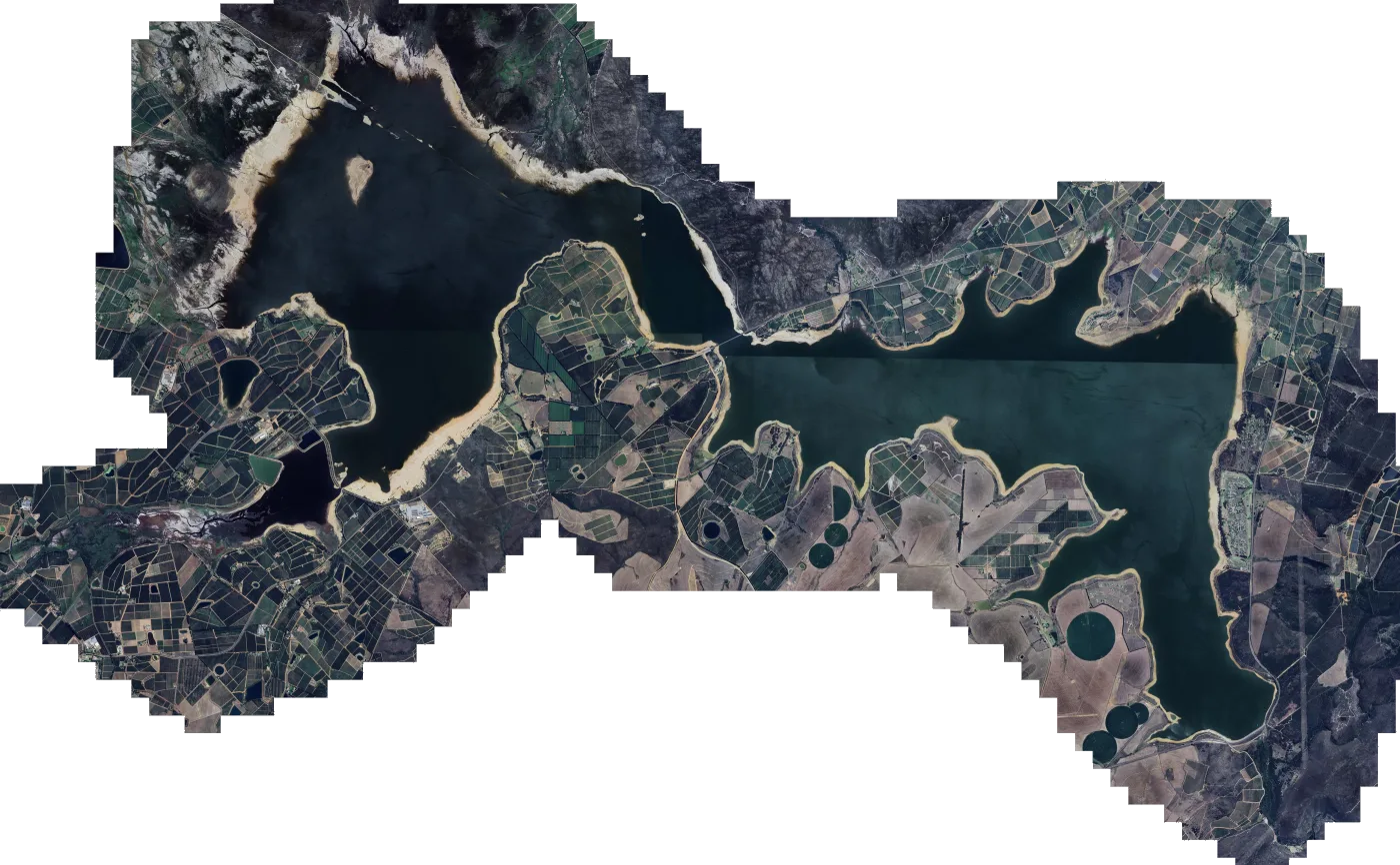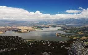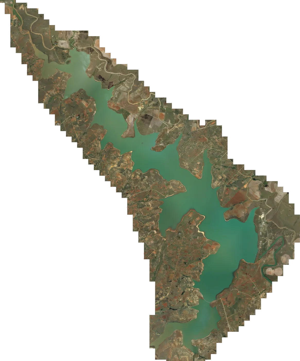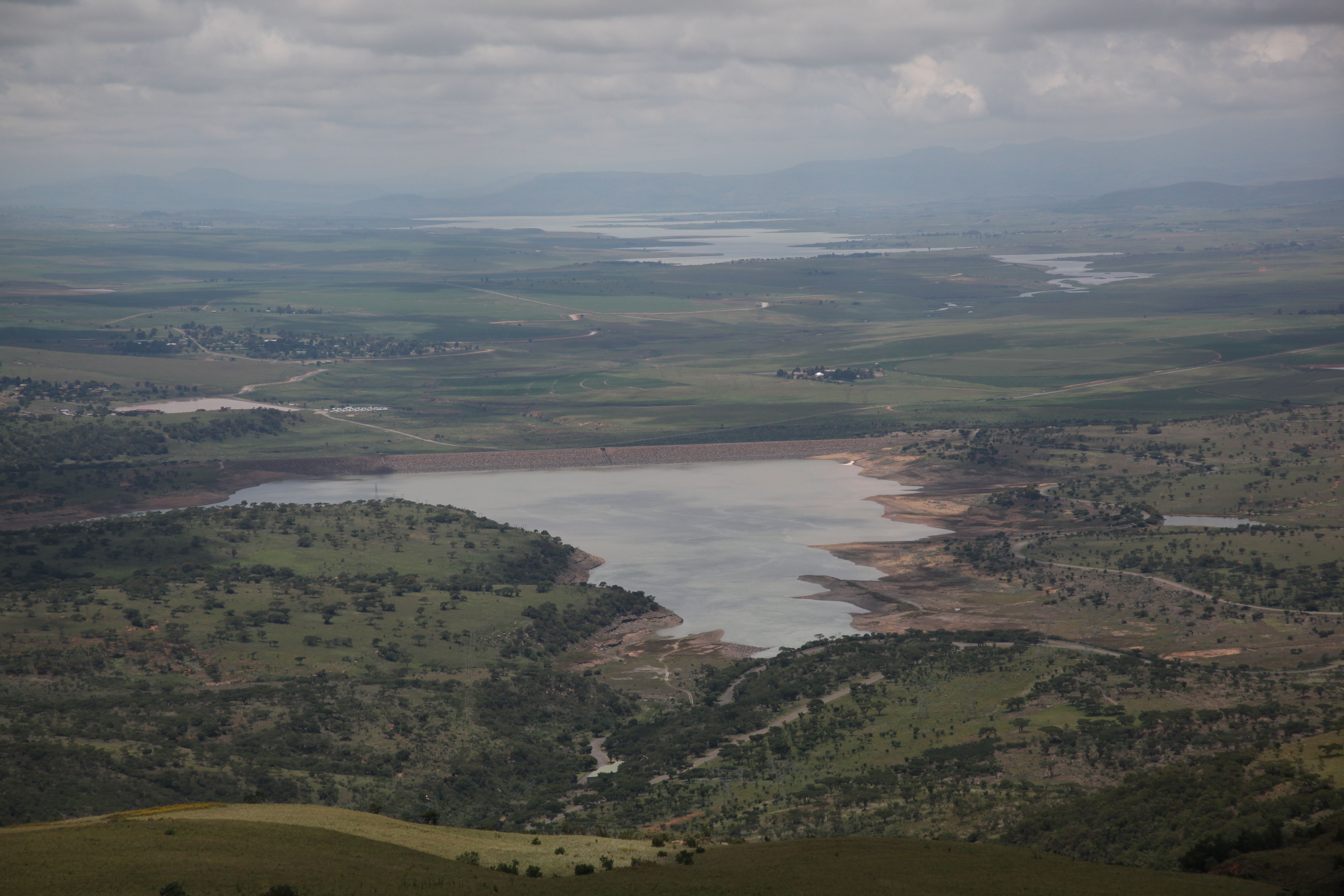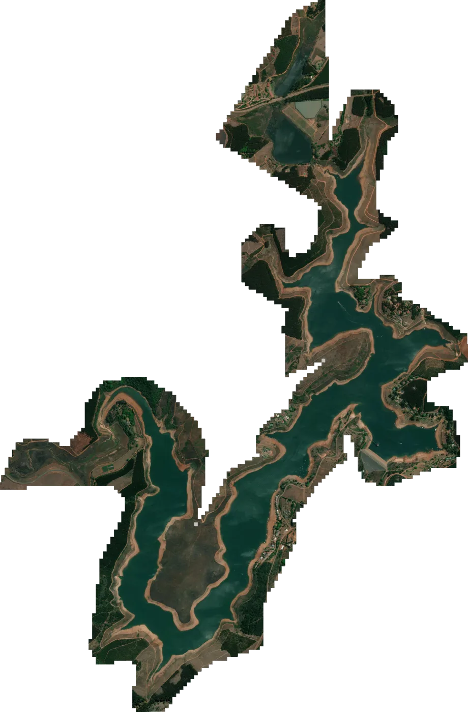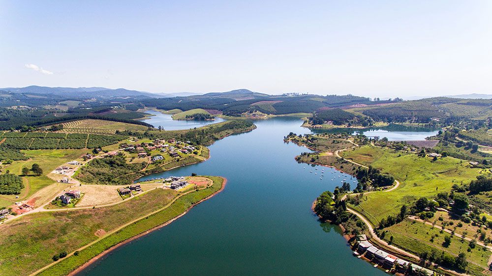

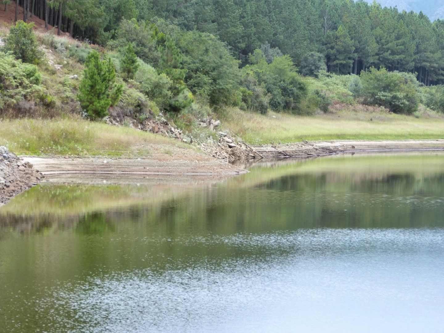
Heyshope Dam satellite map for Lowrance fish finders
Satellite imagery of Heyshope Dam, set up as a chart overlay for your Lowrance. Heyshope Dam is a zoned earth-fill type dam located on the Assegaai River, Mpumalanga, South Africa. It was established in 1986. The main purpose for the dam be...
Download
Emailed once PayFast confirms your payment. The link works for 30 days, with 5 downloads per file.
SD card In your basket you can add one 32GB SD card for R350. It carries every map in the order and is posted PostNet-to-PostNet, postage included.
- You pay on PayFast's secure page
- Compatible with Lowrance HDS Live, Carbon, Gen 3, Gen 2 & Elite Ti / Ti2 / FS units.
About the Heyshope Dam satellite map
Heyshope Dam is a zoned earth-fill type dam located on the Assegaai River, Mpumalanga, South Africa. It was established in 1986. The main purpose for the dam being built was to service White communities around the Vaal triangle of the old Transvaal.
What you get
- Heyshope.zip 295.3 MB
- Install steps in the email with your download link
- Help by email or WhatsApp if the map won't load
Getting the Heyshope Dam map onto your Lowrance
- 1 Download Open the download link in your email and save the map file to your computer.
- 2 Copy to the card Copy the map file onto a microSD card. If the download is a zip file, extract it onto the card instead.
- 3 Insert Put the microSD card into your Lowrance with the unit switched off, then switch it on.
- 4 Choose the map Choose the Mapster map from the chart menu. Menu names vary between models.
If you ordered the SD card, start at step 3. There's more detail in the FAQ.